December 8, 2019
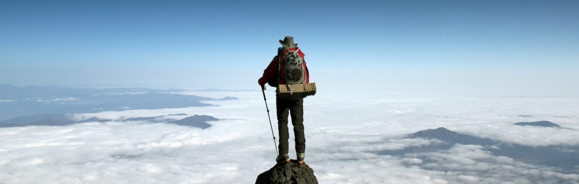
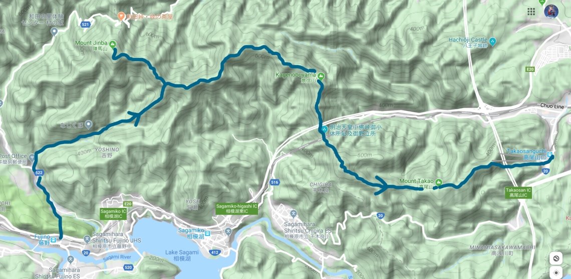
This hike began at Fujino Station, two stops west of Takao Station on the Chuo East Line, at 10:15am. It was a crisp sunny winter morning as I headed off north along the road. A 22km walk lay ahead, but my plan was to still be in the forest during magic hour and the sunset, so I left a little later than I ordinarily would for a long day hike.
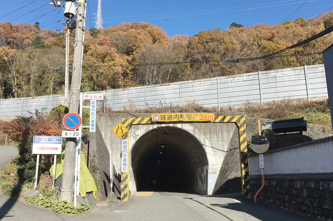
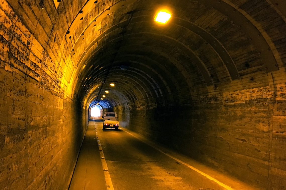
The first thing of interest was a tunnel cutting northward. This begins pretty much right next to the station and leads for a couple of hundred metres, under the freeway and into the hills south of Mt Jinba.
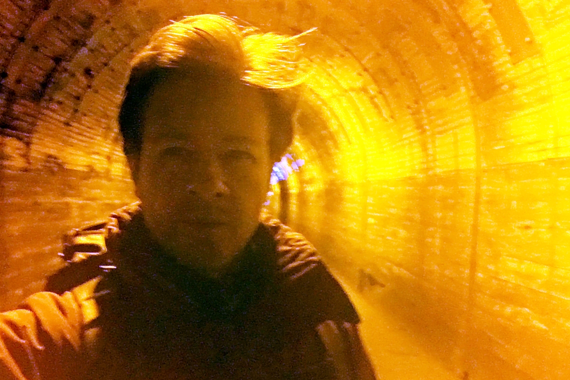
Trying to capture a telfie – tunnel plus selfie – and not really succeeding at either.
Just over two kilometres later, I turned right onto a road that followed the Tochitani River deeper into the hills. This was a peaceful walk with barely any traffic on the road. There were a couple of other hikers heading up from the station. One headed left just after the turn off from the main north-south road, presumably to take one of the many different routes that head up to Mt Jinba. I decided to continue eastward along the road for a while before heading up another way.
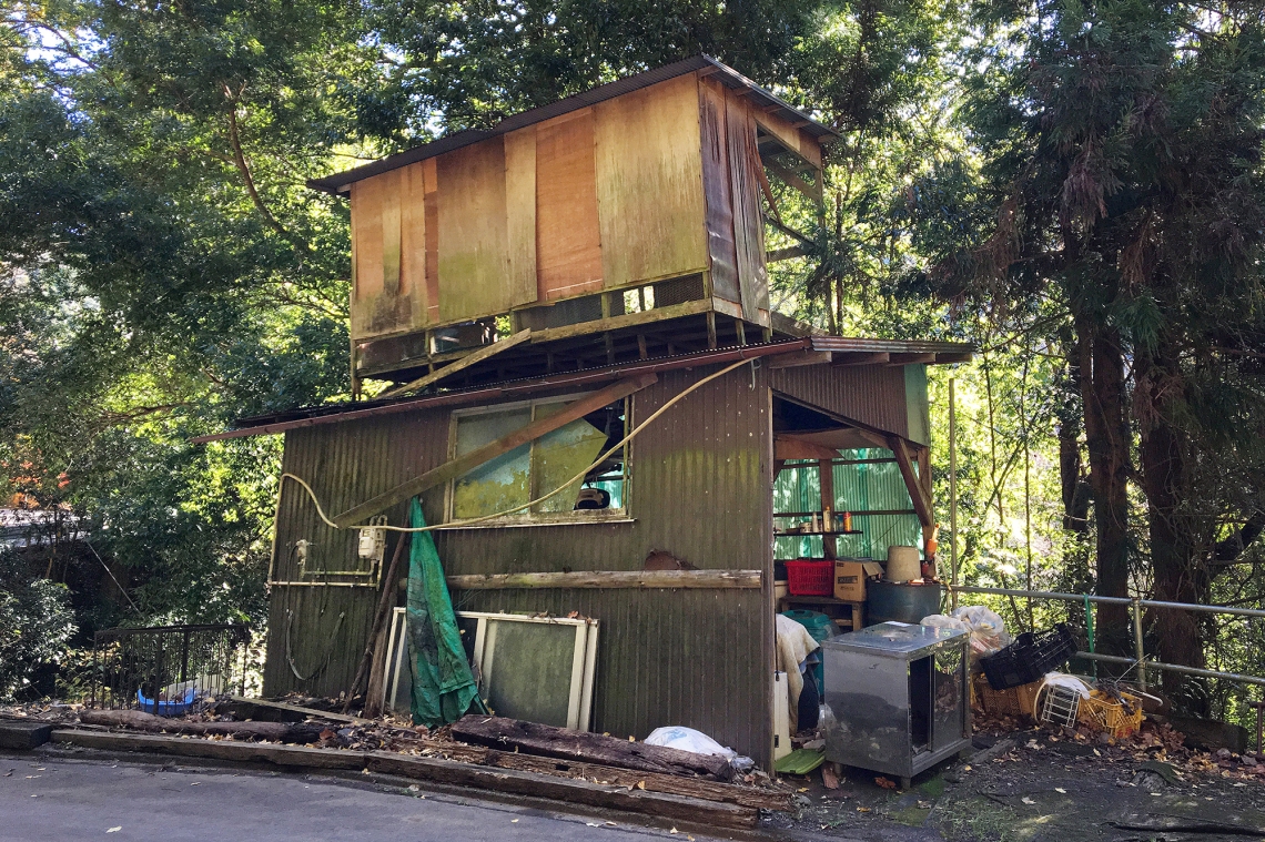 Nice little doer-upper by the roadside.
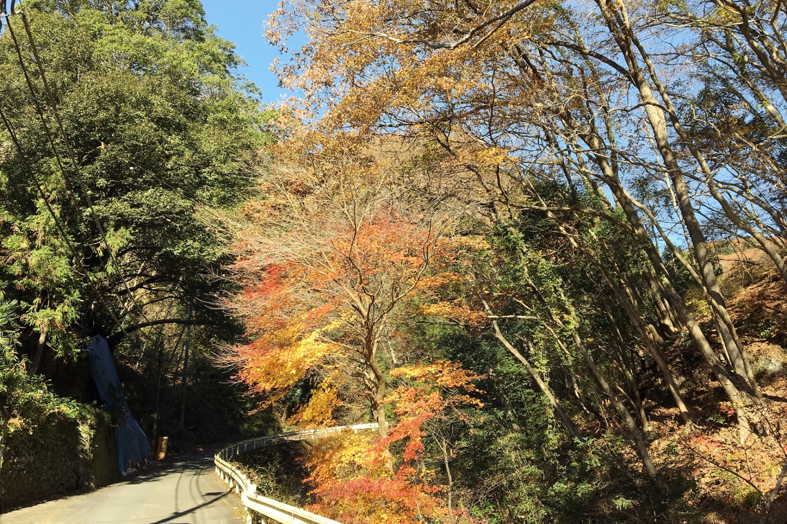
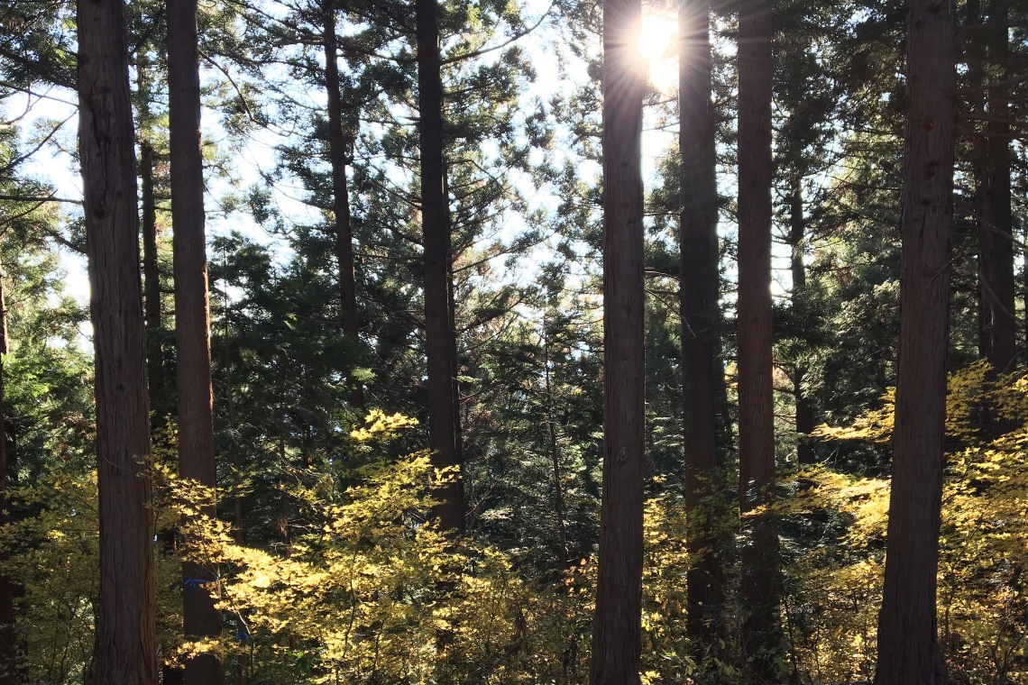
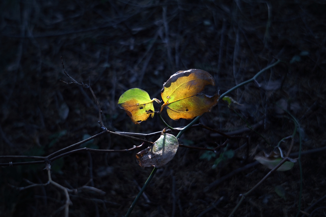
Here and there, bright yellow or orange leaves glowed in the morning sunlight, making for quite a picturesque walk. Every once in a while, early risers passed in twos and threes heading down. Being a sunny Sunday in early December and with what I knew about Mt Jinba being one of the most popular hikes close to Tokyo, I was expecting to see plenty of people out and about.
At the four and a half kilometre mark of the hike, just as the road veered off up and to the left, on the first of its many zig-zags around the steepening mountain contours, I came to some sort of holiday condo complex. The most interesting thing about it were the toilet blocks, which are made to look like big tree stumps. Here, an old sign marked a trail head, heading off up a ridge on the right side of the road. I was a bit confused, as the mountain was up on the left. The path was covered in leaves and looked undisturbed. Certainly none of the other hikers coming down had gone that way. Despite my GPS showing the route continuing left, along the road, I decided to give the trail a go, just because.
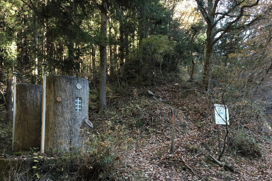 Stumpy toilets and the path heading up the ridge.
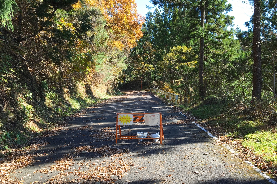
It was quite steep and lead straight up the ridge. Only fifteen minutes later I popped out onto a hairpin on the road and I could see that the shortcut had saved me a kilometre or so of zig-zagging. Just beyond the hairpin was a temporary roadblock barrier with a sign saying the road ahead was closed due to a landslide. Probably from the typhoon back in October. As luck would have it though, the trail continued directly up the ridge on the other side of the road. A part of me wanted to continue along the road, check out the landslide and see if I could get across it. The other, lazier part, decided that heading straight up would be easier. Lazy won and I headed up some steps that formed the next part of the trail.
By then it was after 11:30 and the going had become quite warm in the sun. At the top of steps I stripped down to just a thermal shirt and t-shirt over the top. As I was sitting on a rock rummaging through my pack, a couple came down the path. They said hellos and passed by. Just as the bloke stepped past me, a loud bark, right in my face, made me jump. Sticking out of the top of his backpack was the head of a tiny white dog. It was all fur and gums and teeth and snarled and snapped like a demonic little gremlin. I resisted the urge to lean in and give it a big snarl of my own, and packed up and continued upward.
Beneath the trees, the forest became much cooler. Nearly cold enough to need gloves, but not cool enough to make me want to stop again to rummage for them. Just after noon, I reached the top of that ridge and an intersection where the path came to an end at a much wider one. No sooner had I reached it than a group of runners came stomping past from the direction of the summit. A sign showed Mt Jinba to be 1.5km off to the left, and Mt Kagenobu 4.2km to the right. I turned left.
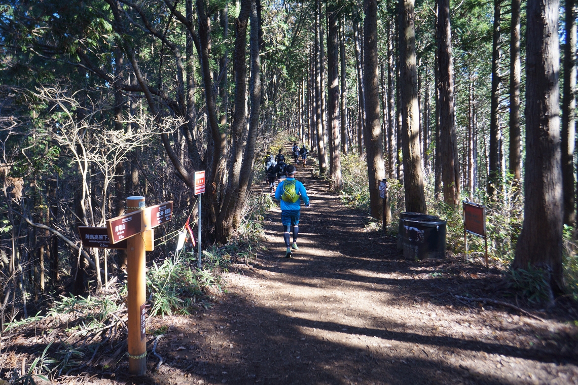
The path, presumably flattened by a million runners, was wide and easy. I walked fast, passing a healthy mix of friendly and furtive hikers coming back the other way. I thought that with it being after midday, and having passed so many people headed back down, I might get lucky and the summit area might not be too crowded.
Nope.
I’ve never seen so many people up on a mountain before. There were dozens of tables scattered around an area the size of several tennis courts, and all of them were a bustle of activity, especially in the area surrounding the four-legged phallus monument. Every other table had at least one camping stove steaming away. There were foldable chairs, portable cooking devices I’d never seen before, dogs and even a chubby fox scampering around between the cafes.
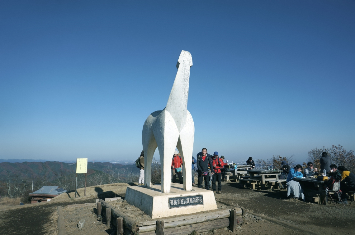
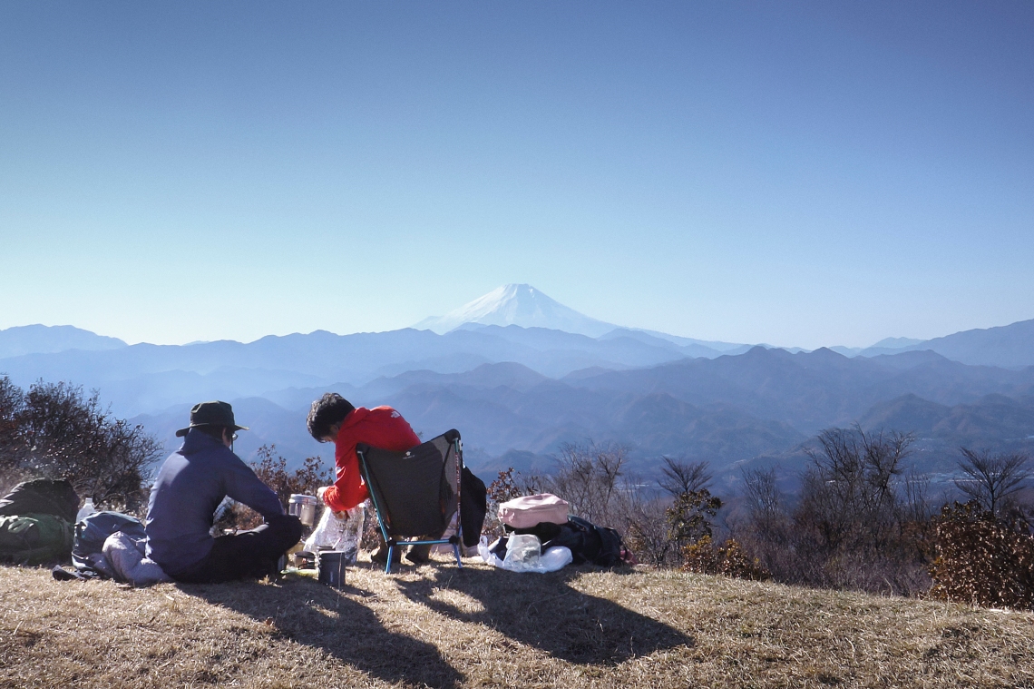
I took a few photos and bought a coffee from one of the cafes. Mt Fuji made for a nice backdrop to it all off to the southwest. There was still over 14km of walking ahead of me and just over four hours of sunlight, so I only stayed on the summit area for about 20 minutes before heading back along the path toward Mt Kagenobu. It was about a quarter past one when I left the summit area.
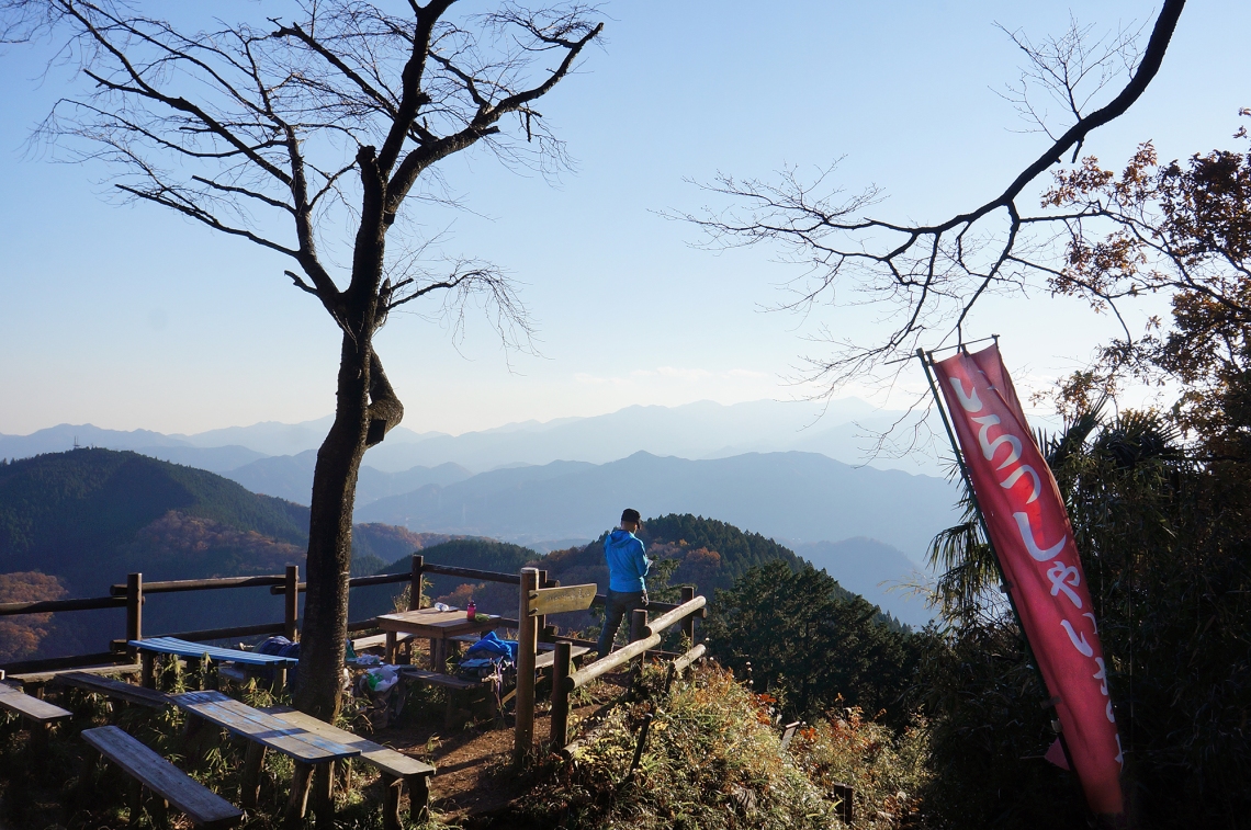
The first point of interest was Myo-o Pass, about 2 kilometres from Mt Jinba. Here there’s a small open area and structure, and a few hikers sat about having lunch.
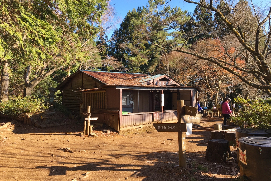 Myo-o Pass.
Then came the 3.8km stretch to Mt Kagenobu. The foot traffic here was much lighter, making me wonder which way all the people were getting to and from Mt Jinba. I hadn’t done much research on all the various routes leading to the summit and assumed there must have been a road not too far away on either the northern or eastern sides of the mountain.
For the next hour or so I walked easily eastward along a wide ridge. Even in the mid afternoon, the light cutting through the trees was pretty nice. The winter sunlight made the afternoon seem a lot later than what it was, and I made plenty of quick stops to take photos with the atmospheric light. At some points the forest opened up and the trail passed across warm little areas dominated by those long-stemmed grasses with the fluffy tops.
I think it was a little less than two hours after heading off from the Mt Jinba summit area, and 5.7km later, that I came out of the forest and onto the Mt Kagenobu summit area. This was the surprise of the hike. One side had great views out to Mt Shiroyama, Mt Takao, and beyond to Tokyo.
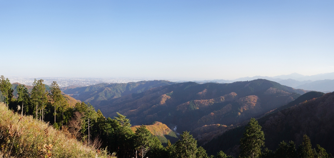 The view of Mt Shiroyama, Mt Takao and Tokyo, from Mt Kagenobu.
There were a couple of small groups of hikers resting and chatting at tables and nice orange and yellow leaves swayed gently over it all. It was probably only 3pm, but felt much later.
The place had a really pleasant vibe to it. It felt much higher up that it actually was, and the overhanging branches created this soft light that turned people into silhouettes against the mountainous backdrop as they chatted. It all felt a little slow and dreamy.
I rested for a few minutes at one of the tables, downed some energy snacks, took a few photos and headed off down the far side toward Kobotoke Pass, a kilometre away. There were even fewer hikers on this section, though I was surprised to see people at all still out there. It was a bit of a no-man’s land section between the mountains, and with just over an hour of sunlight left, I wondered where they were coming from and going to. It’s not like Japanese hikers to be out there at night, so I figured there must be other paths leading off to roads and access points I didn’t know about.
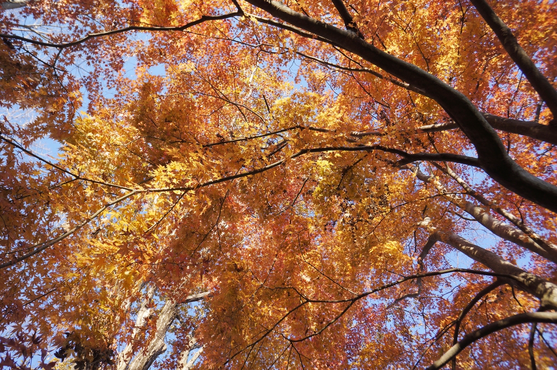
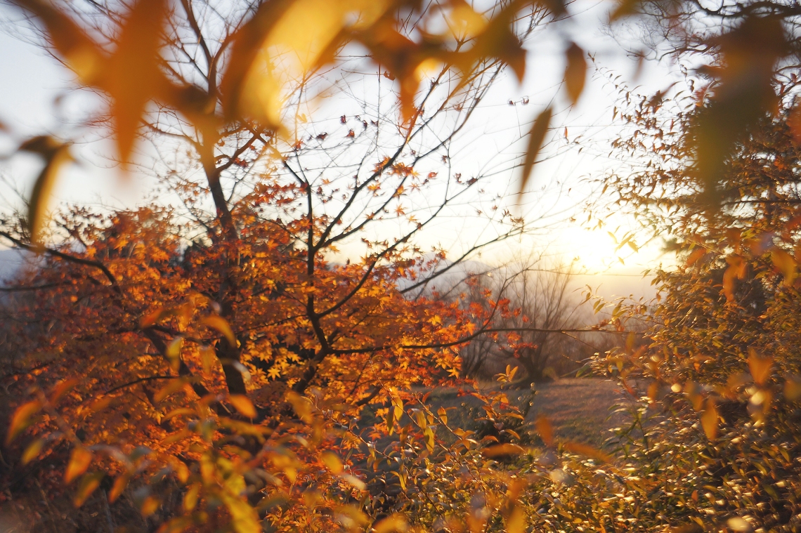
The stretch between Mt Kagenobu and Mt Shiroyama was the nicest part of the hike. Magic hour was coming on and everything started to look just a little more special in the amber light. For the most part, the path wound along beneath pine trees, but there were also sections of sansa as well as some patches of deciduous trees with amber-coloured leaves that swayed beautifully about in the patchy sunlight.
At around half an hour before sunset, I arrived at Mt Shiroyama. It was almost deserted, with only two groups of hikers taking a break as the cafe workers closed up.
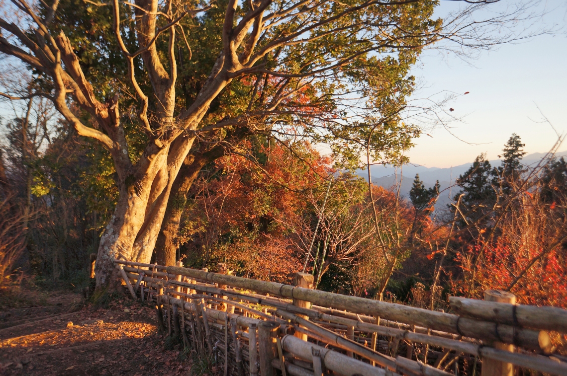
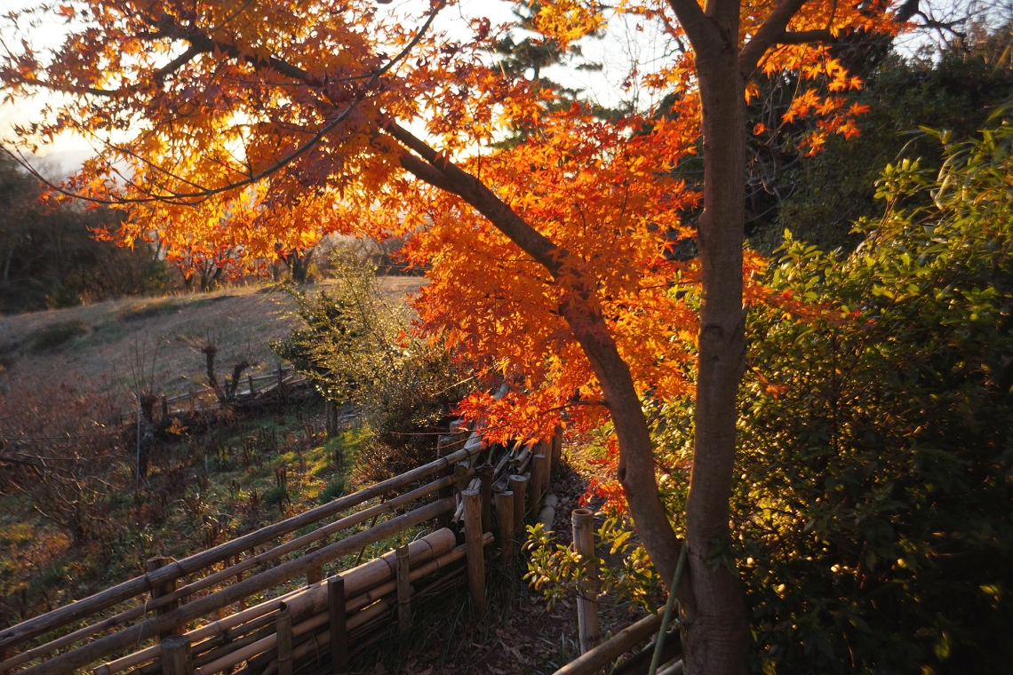
The sunlight here was proper magical. Everything was turning golden, and the autumn colours glowed in the day’s last rays of light.
 Mt Shiroyama colours.
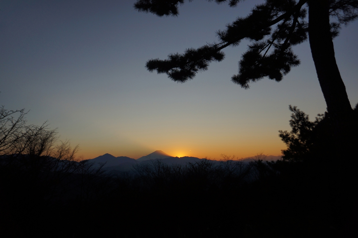
Just before sunset, the last of the other hikers left, and I watched the sun descend behind Mt Fuji. It gave one last spectacular display, throwing rays of light up into the sky around the mountain as it disappeared.
The temperature immediately began dropping fast and I had to put on light gloves. It was also then that I discovered that my headlamp, for whatever reason, decided it didn’t like the new batteries I’d bought for it, and refused to switch on. I packed up fast in the fading light and got going for Mt Takao. There was still enough light to see for another half hour, and it was only for the last twenty minutes or so I had to use my phone’s torch to light the way.
I can’t remember exactly how far it is from Mt Shiroyama to Mt Takao, but the walk was shorter than I’d remembered and not too long after dark, I passed the summit area. There were quite a few people making their way slowly downward on the Tokyo side, toward the temple and cable car station. The great majority turned off to the left to stand in the huge cable car line, while the rest continued down the steep road to Takaosanguchi. The rest of walk down was pleasant, with the lights of Tokyo flickering away off to the east.
At 6:15pm I arrived at Takaosanguchi Station. All up the walk was around 22 kilometres, with a total elevation change of around 1,300 metres, both up and down. It was one of those rare hikes without a heavy overnight pack reducing it all to a slow trudge. With just a day pack and a couple of short breaks, this was a nice reminder of how easy and non-ploddy hiking can be.
________________________
Grandeur: 3
General Beauty: 6
Peacefulness: 2
Difficulty: 2
Hikeography Rating: 5/10
________________________
Useful link:
Mt Takao forecast:
https://www.mountain-forecast.com/peaks/Mount-Takao/forecasts/599
My other Tokyo blog:
https://undiscoveredtokyo.wordpress.com/
Pictures and videos of my hikes and other outdoor adventures:
https://www.instagram.com/gregsoutdoorstuff/

Beautiful pics and thanks for sharing your day out. A couple weeks back I also hiked Jinbasan from Fujino Station but hopped onto the main ridgeline a little before you did. Similarly it was fine weather so started mega early to catch the morning ‘magic hour’. I was about the first up at the summit and on the return bus to Fujino Station a little after 9 am to avoid the crowds. We’re fortunate to have such awesome trails and views so close to downtown Tokyo.
LikeLiked by 1 person
Hey David
That must have been really beautiful being up there alone with the first light. And yeah I’m grateful to be able to experience such places.
LikeLike
Reblogged this on matthew xiang's blog and commented:
nice post for hiking
LikeLike